

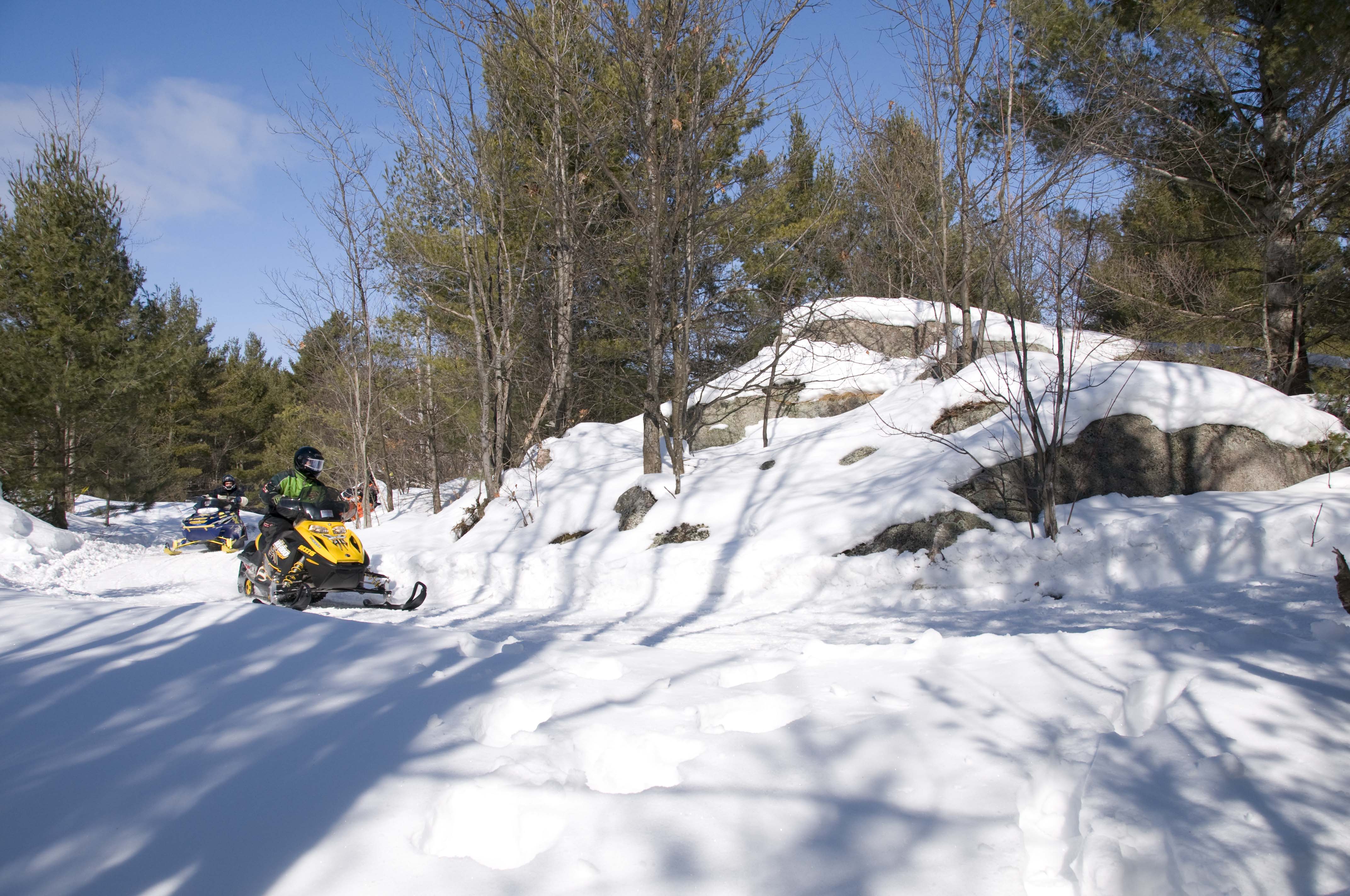
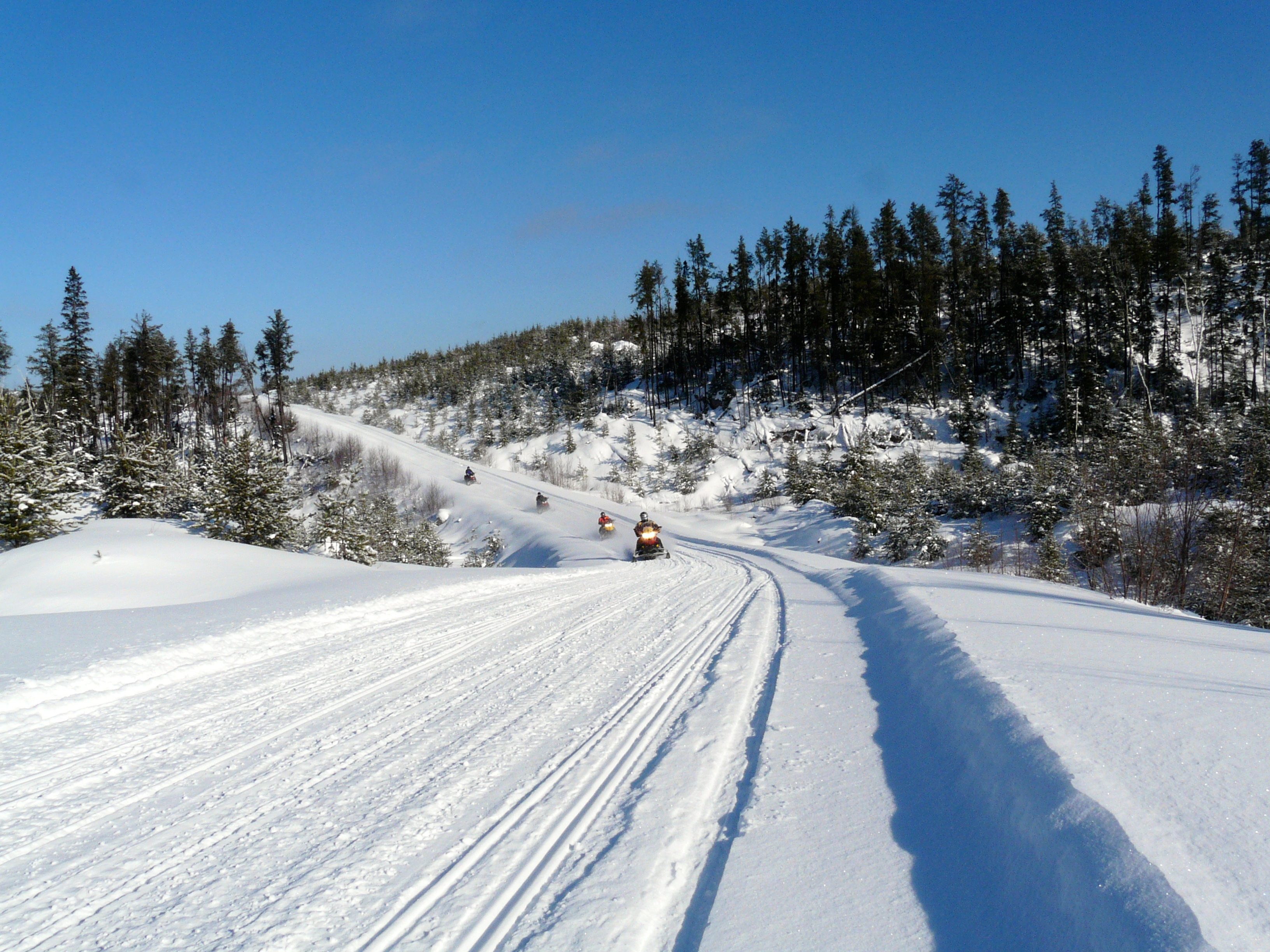
Northeastern Ontario snowmobile trails have earned the enviable moniker “Big Trails” for good reason. That’s because a large part of the region’s network of 4,300 (8,000 miles) trails are groomed by members of the Ontario Federation of Snowmobile Clubs on logging and mining roads, utility corridors and cut lines. Generally, these Big Trails often seem to stretch from horizon to horizon, providing wide, smooth pathways with long sightlines, seamless transitions, gentle terrain, sweeping corners—and lots of snow. And unlike many other riding destinations, Northeastern Ontario delivers one amazing Big Trail after another after another – an endless supply of amazing snow experiences. Before you know it, you’ve done more miles in ease and comfort on your sled than you’d ever thought possible. No wonder first time visitors are so impressed. No surprise that many talk so euphorically about Northeastern Ontario’s larger than life, “Quebec-style” Big Trails.
But even in this integrated system encompassing so many exceptional trails, a few updates can occur from winter to winter. We’re not talking about minor considerations that necessitate a brief detour or a short re-route. These are the norm in most trail networks, and once it snows are hardly noticeable to most observers. But when serious factors come into play out of left field, a major trail may be affected.
Often, such impacts are due to a resumption of logging operations, renewed mining activity or start up of utility projects. Others happen due to uncontrollable natural phenomena such destructive storms whose aftermath can make a trail impassable for an entire season or more.
Some updates happen early enough in the off-season that they are captured on the trail guides printed each September by the snowmobile districts in Northeastern Ontario. But others aren’t known until after the guides are printed, so they appear first on the OFSC Interactive Trail Guide. Regardless, if notice isn’t posted about trail updates, you may not find out about important differences that might affect your riding plans—and that’s what this blog post is all about.

Fortunately, there are only two major trail updates known for Northeastern Ontario at this time. The first is the late-breaking news that contrary to previous reports, the full loop of OFSC District 15’s Gateway To The North Snow Tour will be available this winter. Apparently, logging operations have been suspended this winter on TOP Trail C north from the junction of TOP Trail A106C to TOP Trail A at Smooth Rock Falls so that trail will be available to ride after all. This means that along with TOP C from Timmins, this part of TOP C will act as a shortcut to Kapuskasing and Hearst when sledding up from points south.

The second major trail update is the connector trail between Cochrane and La Reine, Quebec. Neither the 2017 District 15 print guide or the OFSC Interactive Trail Guide show this trail, but its disappearance could be a surprise to any sledders who’ve used it previously or may be planning to. Primarily, this impacts snowmobilers visiting Northeastern Ontario from Quebec and riders looking to loop between Northeastern Ontario and Quebec. Fortunately, good alternatives remain available for 2017, albeit farther to the south: TOP Trail A110Q allows riders to access Northeastern Ontario via Virginiatown and Kirkland Lake, as does TOP A017Q coming into Temiskaming Shores.
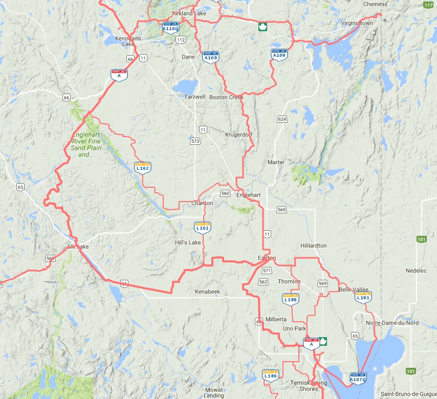
Alternative routes.
 Meanwhile, there’s good news for riders doing the Gold Rush Tour. TOP Trail C has been re-routed for 2017 between Gowganda and Gogama to provide direct access to services in Shining Tree. For riders travelling between Timmins and Sudbury on TOP Trail C, this re-route into Shining Tree also provides the opportunity for another welcome fuel stop on this fairly remote trail.
 Visiting snowmobilers also have a new-for-2017, OFSC-Promoted Snow Tour to check out in Northeastern Ontario. The Explorers Snow Tour is a 234-kilometre loop located between North Bay and Mattawa that includes 10 Attraction Points of Interest on route for your sightseeing pleasure.
For backcountry riders, here’s a heads up that the Extreme Tours ride from Fraserdale to Moosonee is not available this winter due to extensive line work by Ontario Hydro along the route between the Abitibi Canyon and Tozier’s Camp. However, the Abitibi Canyon Tour and upgraded Abitibi Canyon Base Camp at Fraserdale are both open.
At the time of writing, that’s it for significant trail updates for the coming season in Northeastern Ontario. Consequently, with most of its 3,300 kilometres ready and waiting to welcome you, expect to rack up more big miles and big memories riding Northeastern Ontario’s BIG Trails this winter!

